Ulsan, South Korea
time : Aug 18, 2025 8:00 PM
duration : 0h 3m 12s
distance : 0.7 km
total_ascent : 8 m
highest_point : 40 m
avg_speed : 14.8 km/h
user_id : kys0217
user_firstname : 명환
user_lastname : 김
트랙과 산행 경로 상이함..
[주요 산행경로 요약]
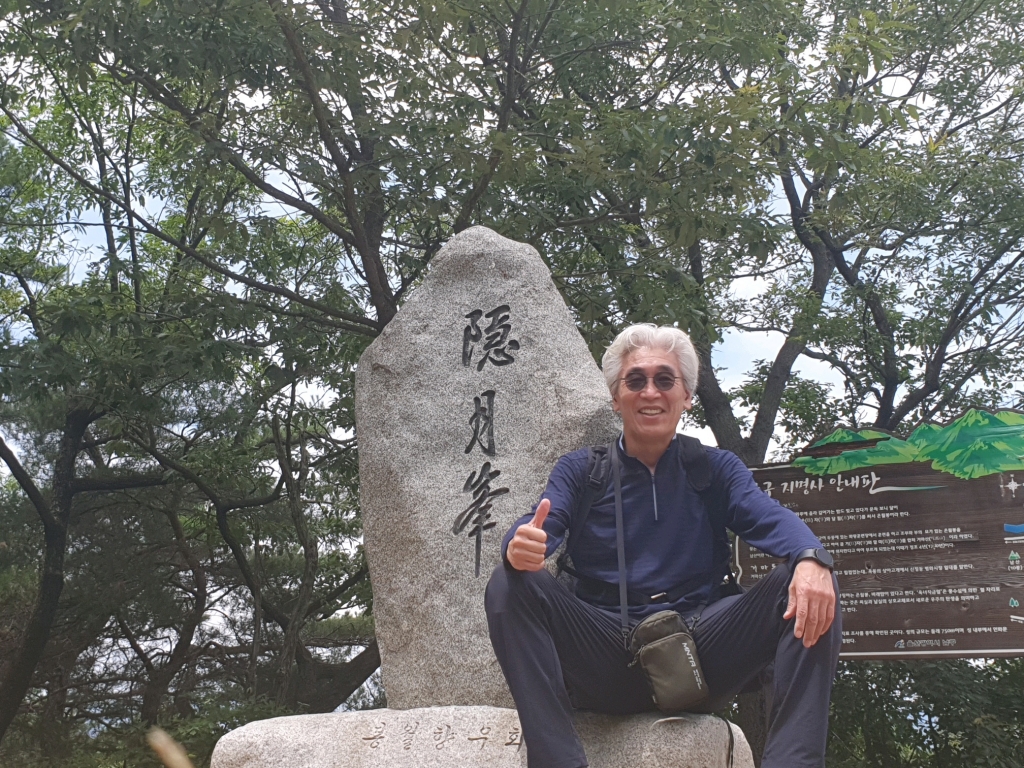
집(06:03) ~ 신정시장(울산 남구 신정동 소재) 버스정류장(12:03) ~ 용덕사 들머리(12:24) ~ 남산사거리_직/우_┽_태화강 둔치/삼각점 포인트 갈림길 안부(12:28)_좌측 ~ 남산 은월봉(117.0 m) 정상(12:34) ~ 남산전망대(12:41) ~ 군월정 비내봉(12:46) ~ 오리 훈제로 점심 & 정상주 휴식후 출발(13:48) ~ 십리대밭교 횡단(14:00) ~ 태화루 버스정류장_산행종료(14:16) ~ 집(19:11)
[산행 소요시간 : 2시간 13분(12:03 ~ 14:16, 풍경감상 및 정상주 휴식시간 1시간 7분여 포함)]
[나들이앱 트랙 기준 이동거리 : 3.82 km]
[날씨 : 요상타~~ 비가 내린다고 했는데.. 전혀 기미가 보이지 않는다.. 이러다가 갑자기 폭우가 쏟아질라나??? 그럴지도 모르겠다.. 내 한테는 상관없다...........]
[참석자 : 나홀로 산행(.........)