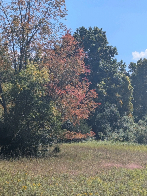
Coldwater Lake is the unnamed body of water located south and east of old Coldwater Rd where it curves east of the bridge. The Serengeti is what locals refer to as the large open field north of the equestrian campground and south of old Coldwater Rd. Old Coldwater Rd is the gravel road that is closed to vehicular traffic within the park boundary. The Holloway Reservoir is the large body of water north of the park. The section of the reservoir for this ride is south of Stanley Rd and seldom has motorized boat traffic and is generally calm. There is a place marked on theap near the east end of the reservoir where you can take your horse into the water to drink and/or swim. When taking the trail along the edge of the reservoir, there is a ravine that is somewhat steep (giving this otherwise easy ride a moderate rating) and can be slippery when wet. The Ravine Bypass Trail avoids the ravine, but also misses most of the riding along the shoreline of the reservoir.
Elba, Elba Equestrian Complex, Genesee County Parks, Hogbacks, Serengeti, Holloway Reservoir, swim with horses, Michigan, Equestrian camping
Oregon Township, Michigan, United States
time : Sep 14, 2025 10:54 AM
duration : 2h 46m 16s
distance : 7.1 mi
total_ascent : 825 ft
highest_point : 789 ft
avg_speed : 2.7 mi/h
user_id : fletchrider
user_firstname : Steve
user_lastname : Keim
This ride features the trails east of Coldwater Lake north of Coldwater Rd as well as trails around the Serengeti to get there.
We started out the west trailhead and made the first right to join the same trail as leaving via the north trailhead. We took the trail along the west side of the Serengeti with a view of Coldwater Lake to our left, keeping to the left to come out onto old Coldwater Rd. We turned left on Coldwater and went a short bit before turning right on a wide single-track trail that follows the south shoreline of the Holloway Reservoir.
There is a small stream near the east end of the reservoir that has shoe-sucking mud. There are connector trails on the south and north of the stream that we followed to avoid the mud. (They are worth riding anyway - featuring wetlands and hills.) We then continued north along the reservoir to a place where you can take the horses to water or swim. We then took the horses along the main trail east, then south back to Coldwater Rd.
Normally we would turn left to catch the trail south to the campground. Instead, we followed Coldwater west back to the place where we turned in earlier and followed the trail to the ravine bypass trail. while the trail does bypass the ravine, it is an interesting trail because it is transitional between the grass fields and the wooded area above the reservoir and feeds the ravine system draining to the reservoir. from there we followed the South Connector Trail again, this time turning right to return to Coldwater Rd.
Going left on Coldwater, we turned right to connect to the trail back to camp. The trail parallels Coldwater Rd until it curves south. You come to an intersection with two trails going south and one going east. The south trails parallel through a shaded wooded section before rejoining along the east of the Serengeti. We took the east trail which loops to the south and cuts along the open area of the Serengeti.
We then continued south and took the second right to take a winding trail that merges into the trail to the west campground entrance.