Islands District, Hong Kong, China
time : Aug 9, 2025 9:38 AM
duration : 4h 29m 19s
distance : 4.3 km
total_ascent : 347 m
highest_point : 459 m
avg_speed : 1.2 km/h
user_id : siuying75
user_firstname : S Y
user_lastname :
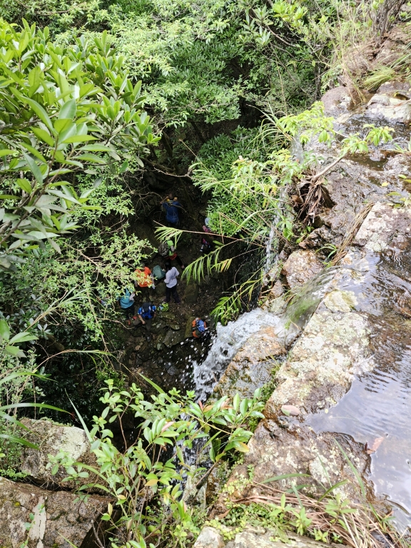
東涌站-裕東路-黃龍坑道-赤鱲角新村-低埔新村-大霸-溢洪道-入溯北龍石澗(玻璃澗)-水簾洞-梯級瀑-三瀑潭-半壁廊-三角潭-連環瀑-坑槽瀑-水魚石-主瀑-石板岩坡-石排瀑-小懸瀑-林蔭澗道-石河-天書壁-書籤-石峽-山徑出白蓮走廊-低埔脊-東涌散隊。