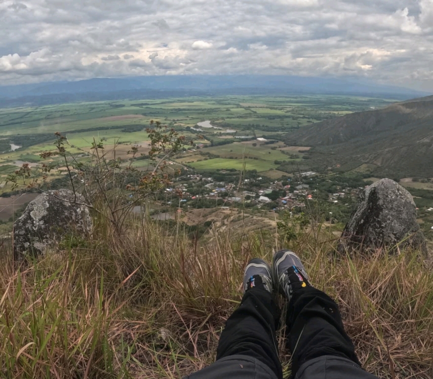
Bolívar, Valle del Cauca, Colombia
time : Aug 31, 2025 9:15 AM
duration : 5h 34m 6s
distance : 10 km
total_ascent : 402 m
highest_point : 1517 m
avg_speed : 2.5 km/h
user_id : andyfranco
user_firstname : Andy
user_lastname : Franco
The terrain is slippery, steep, and high, with steppe, full of thistles and rocks. You have to check the terrain as you go, which requires several stops. A BEAUTIFUL PANORAMA showing the Cauca River Valley, which reminded me a bit of the Rin River Valley route.