1; Hochweißstein / Monte Peralba 2694 m 8836 ft. 2; Zwölferspitze 2594 m 8508 ft.
Lesachtal, Carinthia, Austria
time : Aug 5, 2025 9:14 AM
duration : 9h 23m 15s
distance : 10.5 mi
total_ascent : 5935 ft
highest_point : 8827 ft
avg_speed : 1.2 mi/h
user_id : Nuernbergerchef1
user_firstname : Josef
user_lastname : Nuernberger
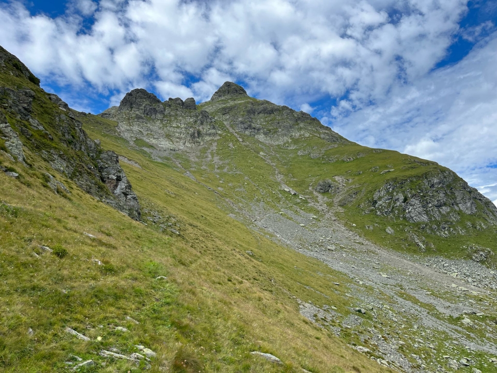
Started my Hike from the Parking Lot just below Ingridhütte 1651 m 5415 ft., The Gravel Road up to the Parking Lot was in better Shape than suggested. It’s only an Hour Hike up to Hochweißsteinhaus 1868 m, hence a Late Start for me today, Well signed Trail up to the Hut and no other Hikers around, this would change very quickly as I continued up to Hochalpljoch 2278 m (Border between Austria and Italy) where some Hikers already descending or coming up from the Italian Side, A steep Trail continued towards the Mountain leading into a Wet and Cable Protected Gully but generally not a problem. Once on top of the Gully it’s just an easy TrailTraverse to the Summit with 2 Crosses, a Bell, as well as the usual Summit Madonna on many other Italien Peaks. Quite a few People up there and a bigger Italian Hiking Group of about 10 Hikers which eventually I passed on my way down. Great Views from the Summit. Returned the same way back to the Hut where I enjoyed a Radler before continuing towards Luggauer Törl (2.232 m) and a Trail-sign towards Zwölferspitze, suggesting 1 Hour Hiking to the summit. (Took me 90 Minutes with a Break in between to reach the Summit). Needless to say the Trail with only faint marks and not easy to follow either through overgrowing Gras, misleading Sheep Trails, Erosion and steep and Loose Gravel, It’s essential to be dry otherwise it could become challenging or worse, The Highpoint is marked with a Cross, Trigpoint and a Register Book suggesting very little Visitors. The View is amazing though. Returned back the same way to the Main trail and following a Trail back to Ingridhütte and my Parking below.