Salzburg, Austria
time : Aug 1, 2025 1:59 PM
duration : 1h 17m 16s
distance : 3.1 mi
total_ascent : 512 ft
highest_point : 6066 ft
avg_speed : 2.5 mi/h
user_id : Nuernbergerchef1
user_firstname : Josef
user_lastname : Nuernberger
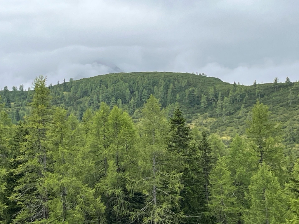
Quick Afternoon Ascent in Rain, Drove up to Maierl Alm where I parked on the side of the Road. Followed the marked Steep Forest Road and Trail up to Bärwurzkaralm where the Trail levels out but it was very boggy today after the recent Rain, It’s a paint marked Trail across the plateau with the last part through Dwarf Pines to the Highpoint which is marked with a Telecom Tower, Lots of junk around it probably Older and not used Equipment. Surprisingly a Great 360 degree View if it would have not been for the Low Clouds, Returned the same way back in the Rain, A short but well worth Hike with Fantastic Views. FYI, Forgot to switch on my Tracking device till I reached Bärwurzkaralm on my Ascent, hence the Stats are not accurate.