dmg 19코스에서 벗어난 복주산

디엠지 처음부터 앱이 잘못됐다 계속 경로이탈이 나와도 확인하지 않고 진행을 했고 싸인이 안 맞아 복주산으로 ㅠ 대략난감 오늘은 QR만 찍기로

Hiking/Backpacking

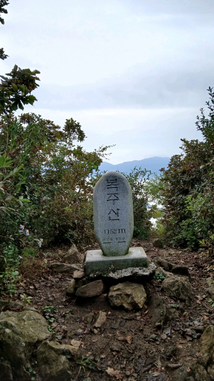
디엠지19구간은 산길을 이용해서 복주산 갈림길에서 직진하면 된다
Hwacheon-gun, Gangwon State, South Korea
Bu2178 photo
time : Sep 30, 2025 5:21 AM
duration : 6h 40m 49s
distance : 20.9 km
total_ascent : 1445 m
highest_point : 1195 m
avg_speed : 3.5 km/h
user_id : Bu2178
user_firstname : 부시
user_lastname : 부
디엠지 처음부터 앱이 잘못됐다 계속 경로이탈이 나와도 확인하지 않고 진행을 했고 싸인이 안 맞아 복주산으로 ㅠ 대략난감 오늘은 QR만 찍기로
Info
Name
 
About Me
Media Contents
  •  
  • -
  •  
  • -
  •  
  • -
  •  
  • -
Most Frequent Activity
1.
-
2.
-
3.
-
Widget
Copy the widget source code below and paste into your blog template.
 
( / )
  No more trips to show
 
No more trips to show
Bu2178's Collections
 
Sorry, the collection could not be found.
Bookmarked Collections
 
Sorry, the collection could not be found.
 
(0)
  There is no data
Blocked Users(0)
  There is no data
Ramblr passports
  Share

  Grab the URL link to the passport.

0 like(s)
 
(0 / 0)
Badges (0)
These are the badges you have acquired. Click to see the details.
     
     
    These are the badges you have acquired. Click to see the details.
    Badges acquired
      Full Screen
     
      Google Map
      Naver Map
    Statistics
    • Total
      Trips
      -
    • Total
      Distance
      -
    • Total
      Duration
      -
    • Highest
      Point
      -
    • Total
      Ascent
      -
    • Average
      Speed
      -
    Most Frequent Activity
    Click on the stat type above to see its graph.
  • First Certification Date :
  •  
    Following
      Follow
    Unfollow
  • 0
     
    There is no badge.
  • Draft
    Private
    Secret
     
    -
      Edit
      Delete
    Are you sure you want to delete this trip?
    YES, delete
    NO, cancel
    Add to Collection
     
     
    Create a Collection Edit Collection
     
    Name
     
    Description
     
    Visibility Setting
     
    Trip Sorting by
     
    Cover Picture