1. 덩쿨식물,가시나무가 등로 대부분을 침식중. 맥길 따르기 쉽지않음.(특히 여름에)
2. 더위에 지쳐 맥길 놓친곳 다수있슴.
3. 고도차는 거의없슴. 4.팽나무 지나 대나무숲은 무조건 통과해야함.
Uljin-gun, Gyeongsangbuk-do, South Korea
time : Jul 27, 2025 3:47 AM
duration : 7h 59m
distance : 24.1 km
total_ascent : 903 m
highest_point : 233 m
avg_speed : 3.2 km/h
user_id : hsmg5504
user_firstname : 한린
user_lastname :
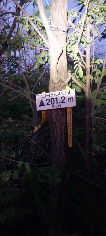
소야동고개 ~201.2 왕복 ~86.1 왕복 ~104.6~92.7~62.7~합수점