Ulsan, South Korea
time : Nov 28, 2021 2:07 PM
duration : 2h 42m 44s
distance : 9.4 km
total_ascent : 368 m
highest_point : 247 m
avg_speed : 3.5 km/h
user_id : kys0217
user_firstname : 명환
user_lastname : 김
[주요 산행경로 요약]
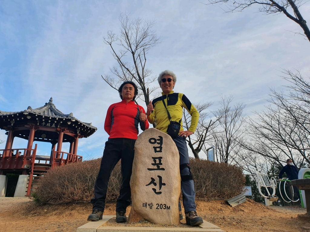
집(08:22) ~ 하동식당(울산 동구 남목1동 소재) 앞(14:07) ~ 남목3거리(14:17) ~ 암반전망쉼터(14:21) ~ 녹수국민의 숲(14:32) ~ 전망쉼터데크(14:53) ~ 좌_┨_현대교교 갈림길(15:08)_직진 ~ 염포산(203.0 m) 정상(15:11) ~ 좌_┨_산성마을 갈림길(15:28)_직진 ~ 화정산(146.7 m) 정상(15:52) ~ 방어진 체육공원(16:08) ~ 천수봉화산(121.0 m) 정상(16:14) ~ 보호재 입구도로 진출(16:30) ~ 방어진 본가_산행종료(16:50) ~ 뒷풀이후 귀가(21:18)
[산행 소요시간 : 2시간 43분(14:07 ~ 16:50, 풍경감상 및 점심 휴식시간 10분여 포함)]
[나들이앱 트랙 기준 이동거리 : 9.51 km]
[날씨 : 오후 느즈막이 산에 들었는데 춥지도 덥지도 않은 전형적인 가을 분위기에 젖을 수 있도록 한 날씨의 연속.. 참 걷기 좋은 날씨일쎄.........]
[참석자 : 천재범(달스기)/김명환까치 총 2명(.......)]