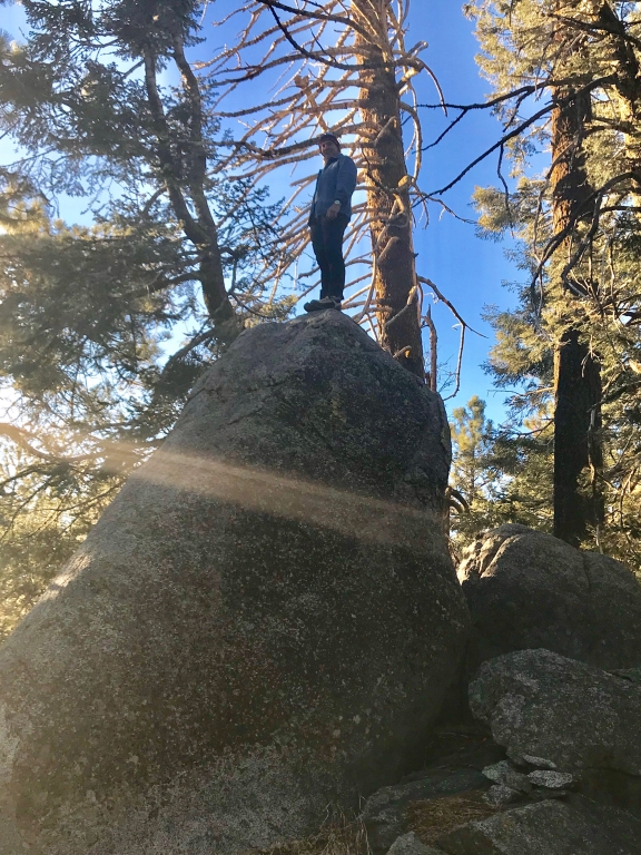
Tehachapi, California, United States
time : Feb 6, 2018 3:40 PM
duration : 1h 55m 21s
distance : 3.2 mi
total_ascent : 584 ft
highest_point : 6883 ft
avg_speed : 2.2 mi/h
user_id : Nuernbergerchef1
user_firstname : Josef
user_lastname : Nuernberger
Get the ramblr app for FREE! A location-based blog space for nature lovers with GPS or iPhone / Android. Share your hiking, traveling, outdoor fitness stories and GPX on a map.