슬로바키아 브라타슬라바 데빈성

넓은 도로 끝난후 우버나 볼트 이용 권장. 증간에 트레킹 도로가 없고 자전거 전용 도로와 차량도로만 있음.

Hiking/Backpacking

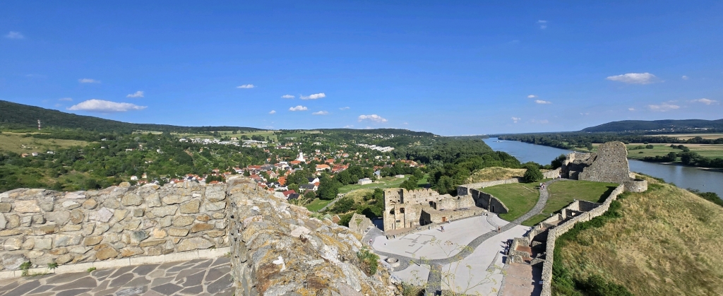
Bratislava, Region of Bratislava, Slovakia
t889988a photo
time : Jul 19, 2025 9:55 AM
duration : 10h 0m 56s
distance : 16.5 km
total_ascent : 334 m
highest_point : 255 m
avg_speed : 3.4 km/h
user_id : t889988a
user_firstname : guyeon
user_lastname : lee
넓은 도로 끝난후 우버나 볼트 이용 권장. 증간에 트레킹 도로가 없고 자전거 전용 도로와 차량도로만 있음.
Info
Name
 
About Me
Media Contents
  •  
  • -
  •  
  • -
  •  
  • -
  •  
  • -
Most Frequent Activity
1.
-
2.
-
3.
-
Widget
Copy the widget source code below and paste into your blog template.
 
( / )
  No more trips to show
 
No more trips to show
t889988a's Collections
 
Sorry, the collection could not be found.
Bookmarked Collections
 
Sorry, the collection could not be found.
 
(0)
  There is no data
Blocked Users(0)
  There is no data
Ramblr passports
  Share

  Grab the URL link to the passport.

0 like(s)
 
(0 / 0)
Badges (0)
These are the badges you have acquired. Click to see the details.
     
     
    These are the badges you have acquired. Click to see the details.
    Badges acquired
      Full Screen
     
      Google Map
      Naver Map
    Statistics
    • Total
      Trips
      -
    • Total
      Distance
      -
    • Total
      Duration
      -
    • Highest
      Point
      -
    • Total
      Ascent
      -
    • Average
      Speed
      -
    Most Frequent Activity
    Click on the stat type above to see its graph.
  • First Certification Date :
  •  
    Following
      Follow
    Unfollow
  • 0
     
    There is no badge.
  • Draft
    Private
    Secret
     
    -
      Edit
      Delete
    Are you sure you want to delete this trip?
    YES, delete
    NO, cancel
    Add to Collection
     
     
    Create a Collection Edit Collection
     
    Name
     
    Description
     
    Visibility Setting
     
    Trip Sorting by
     
    Cover Picture